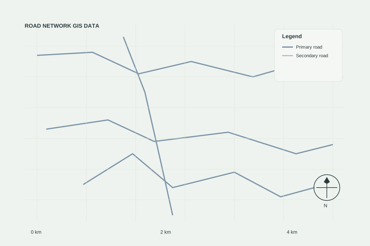
Road Networks
AVAILABLERoad Network GIS Data
Ready-to-use road network datasets for mapping, transportation analysis and infrastructure planning.
Administrative and political boundaries for planning, reporting, overlay analysis and regional intelligence.
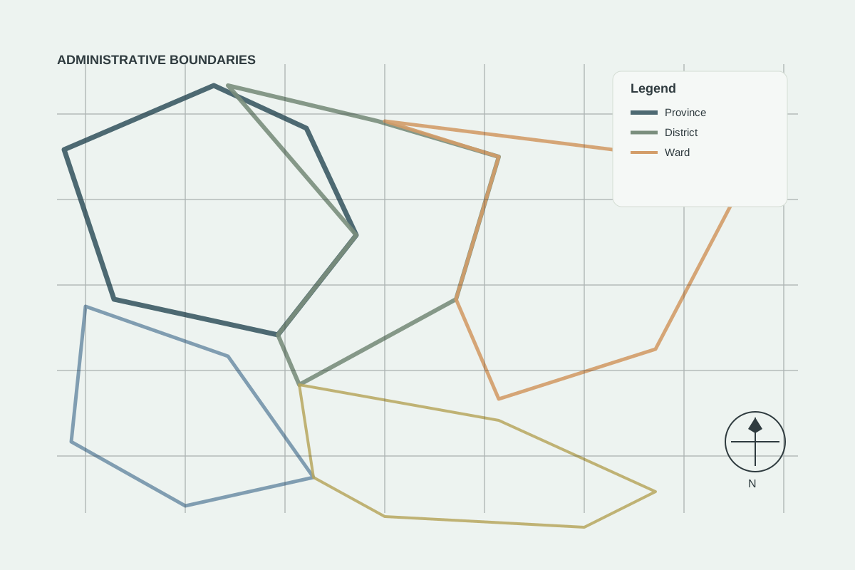
Sample GIS visualisation — illustrative example of the data type.
Road Networks
AVAILABLEReady-to-use road network datasets for mapping, transportation analysis and infrastructure planning.
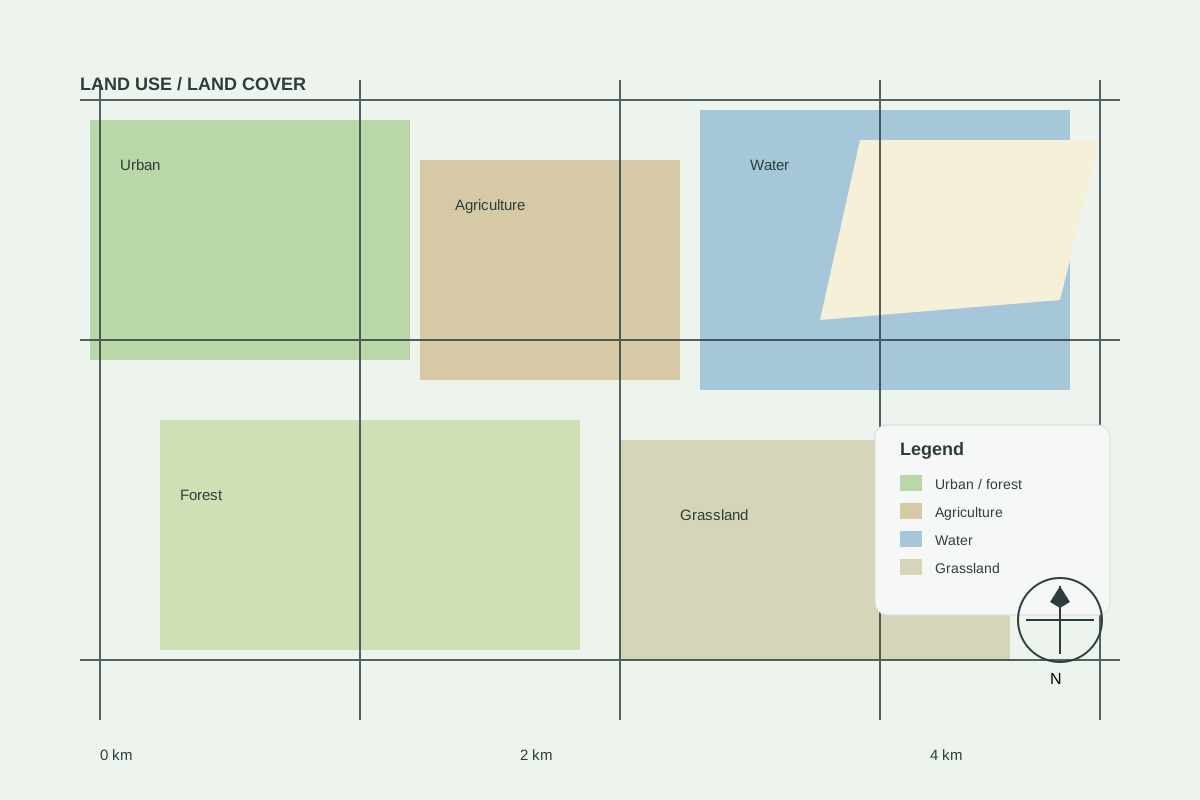
Land Use / Land Cover
COMING SOONLandscape classification data for planning, screening and site studies.
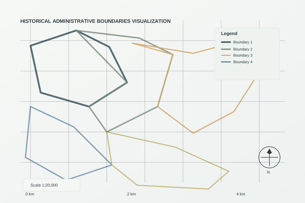
Historical GIS
REQUEST DATAHistorical administrative boundary datasets for territorial and geographic research.
Tell us your area of interest and preferred format — we will confirm availability, licensing and price.