Know the land
before you invest.
GIS, AI-assisted analysis, satellite intelligence and engineering solutions for real estate, construction, industrial and infrastructure projects across Africa.
One intelligence platform for the full land and development lifecycle.
Bring location, infrastructure, environment, engineering and development context into one decision-ready view.
Land & development intelligence
Start with the right geospatial solution.
Better decisions start with better land intelligence.
GEOINTEL LAND combines geospatial intelligence, GIS data and engineering expertise to help teams make informed development decisions.
Land Intelligence
Understand site opportunities and constraints before you invest.
Learn moreSite Selection
Compare multiple candidate sites on one scorecard.
Learn moreIndustrial Projects
Industrial development planning, documentation and approval support.
Learn moreEngineering & Infrastructure
Technical drawings, layouts and infrastructure planning.
Learn moreSatellite & Remote Sensing
Change detection, land-cover mapping and monitoring.
Learn moreConstruction Intelligence
Site mapping, access and logistics analysis.
Learn moreProject Monitoring
Progress and change monitoring with periodic reporting.
Learn moreReal Estate Spatial Analysis
Market area and opportunity mapping for investors.
Learn moreFrom geographic information to development action.
DATA
GIS datasets and satellite information
INTELLIGENCE
Spatial analysis and interpretation
DECISION
Site selection and investment analysis
DESIGN
Master planning and development concepts
ENGINEERING
Infrastructure and construction drawings
MONITORING
Satellite and GIS progress reporting
GIS data for the real world.
Structured geospatial datasets for mapping, infrastructure planning, real estate, site selection, engineering and development projects — delivered in SHP and KML/KMZ.
- 10 country datasets available to buy online today
- Transparent, area-based pricing with instant quotes
- Secure card & mobile-money payment, tracked delivery
- Road Network GIS DataAVAILABLE
- Administrative BoundariesCOMING SOON
- Building FootprintsREQUEST DATA
- POI / Business LocationsCOMING SOON
- Land Use / Land CoverCOMING SOON
- Terrain / Elevation DataCOMING SOON
- Infrastructure GIS DataCOMING SOON
- Soil TypesREQUEST DATA
- TopomapsREQUEST DATA
- Historical Administrative BoundariesREQUEST DATA
A clear five-step workflow.
From site submission to actionable recommendations.
Share your site
Coordinates, an address or a KML / SHP / DWG boundary.
Analyse the land
Satellite, terrain, access, land use and infrastructure.
Develop intelligence
Constraints, opportunities and a clear score.
Plan & engineer
Concepts, layouts and technical drawings.
Decide with confidence
A decision-ready brief for your team or lender.
Illustrative portfolio
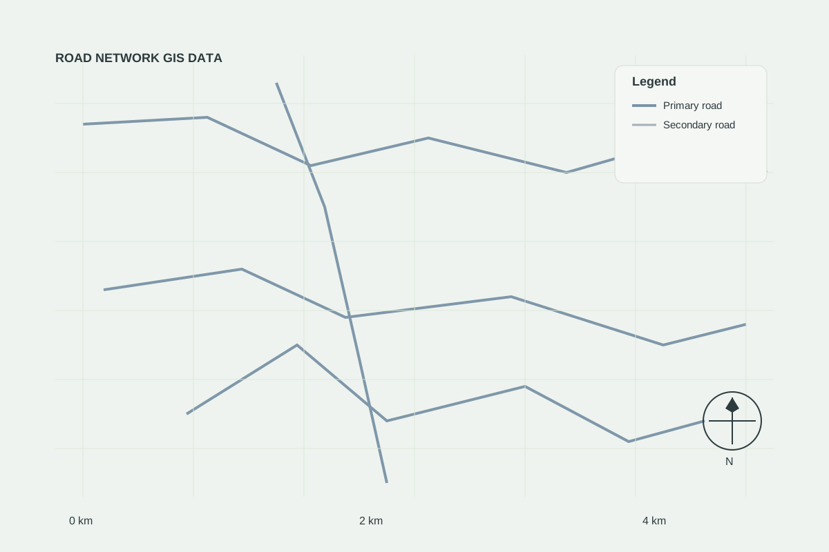
Roads & sites data linkage
Demonstration showing how road network data and candidate sites are combined in one analysis.
Read case study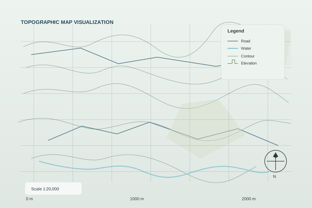
Construction site monitoring
Periodic monitoring of construction progress using satellite snapshots and GIS reporting.
Read case study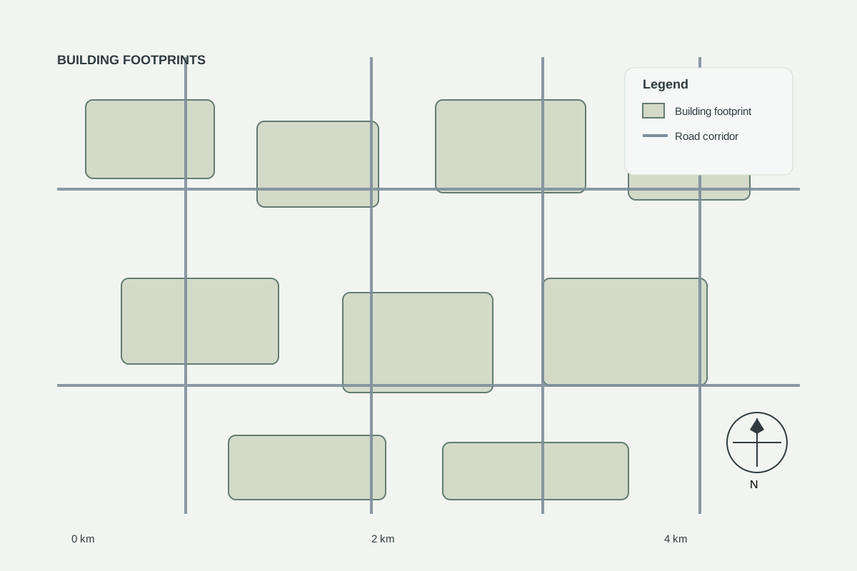
Urban expansion analysis
Illustrative urban growth analysis using multi-year satellite imagery.
Read case studyLand intelligence that supports smarter investment decisions.
We support clients with GIS data, site feasibility analysis, industrial planning inputs and engineering-ready spatial understanding for land, infrastructure and real-estate projects.
GEOINTEL LAND provides geospatial, satellite, analytical and technical decision-support services. Analysis does not replace cadastral surveys, legal due diligence, geotechnical investigations, environmental assessments, engineering certification or regulatory approvals.
Frequently asked questions
What data do you use?
We use open satellite imagery (e.g. Sentinel, Landsat), public geospatial datasets such as OpenStreetMap, commercial imagery when a project requires it, and the site files you provide (KML, SHP, DWG, PDF plans).
Do you provide legal or survey advice?
No. Our analyses are decision-support. They do not replace cadastral surveys, geotechnical studies, environmental assessments or legal due diligence — we tell you which of these your project still needs.
How long does an analysis take?
A standard land intelligence brief is typically delivered within 5–7 working days after we confirm the site boundary and scope. Larger multi-site or engineering assignments are scheduled individually.
Can you work on large industrial projects?
Yes. We support industrial site selection, master planning inputs, No Objection documentation and engineering drawings.
Which countries do you cover?
We work across Africa, with ready-made datasets for Rwanda, Uganda, Kenya, Tanzania, Central African Republic, Cameroon, Ghana, Nigeria, Zambia and South Africa. Custom data can be prepared for other areas on request.
Have a site you are considering?
Send us the location and project details. We will assess the appropriate geospatial analysis and services for your project.