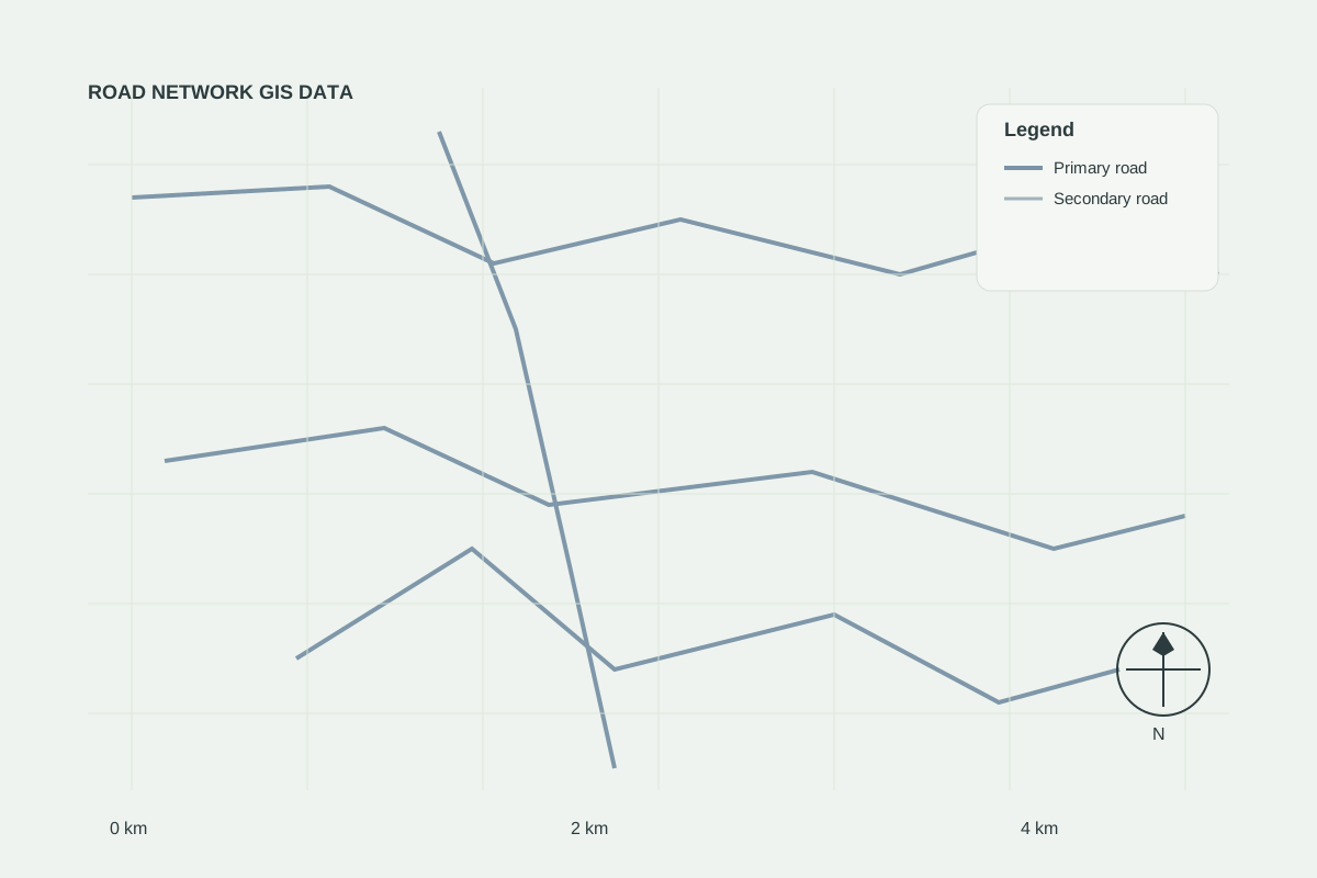
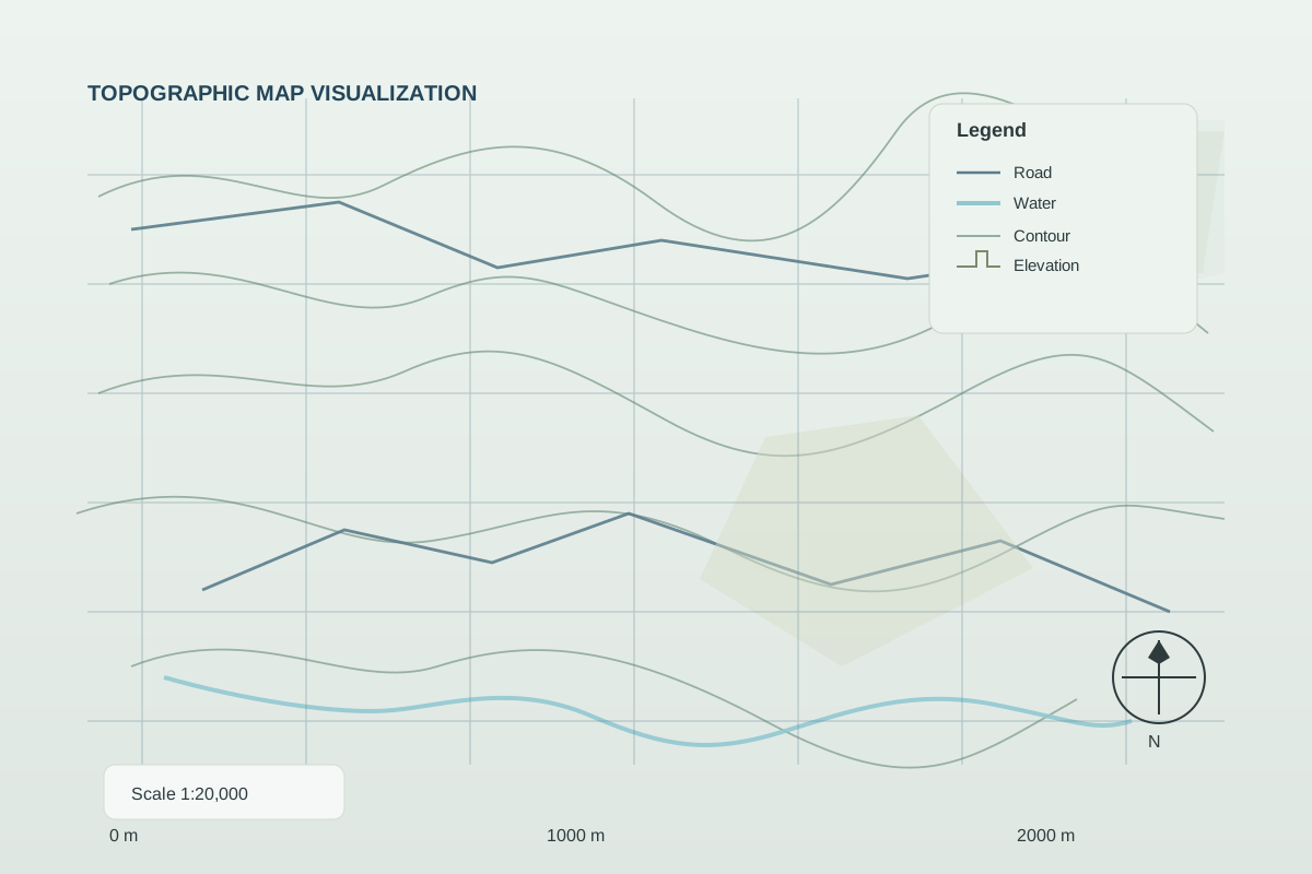
This is an illustrative case study demonstrating GEOINTEL LAND methodology. It does not describe a specific client engagement.
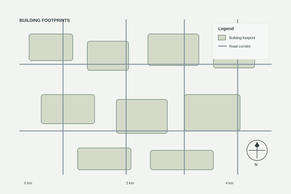
The challenge
A planning team wanted to understand how quickly a peri-urban area was converting from agriculture to built-up land.
Approach
- Multi-date satellite imagery comparison
- Built-up area classification
- Growth direction and hotspot mapping
Result
Growth corridors were visualised clearly for stakeholders, supporting infrastructure prioritisation.