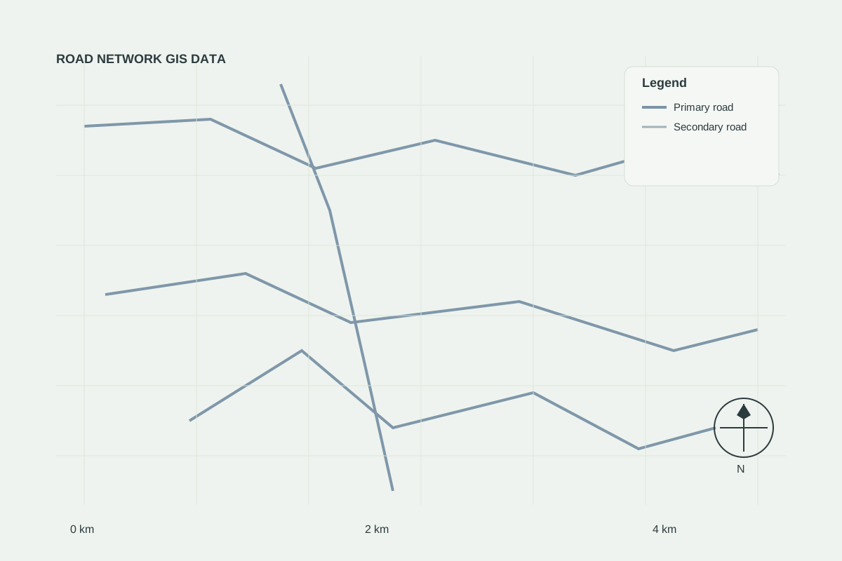
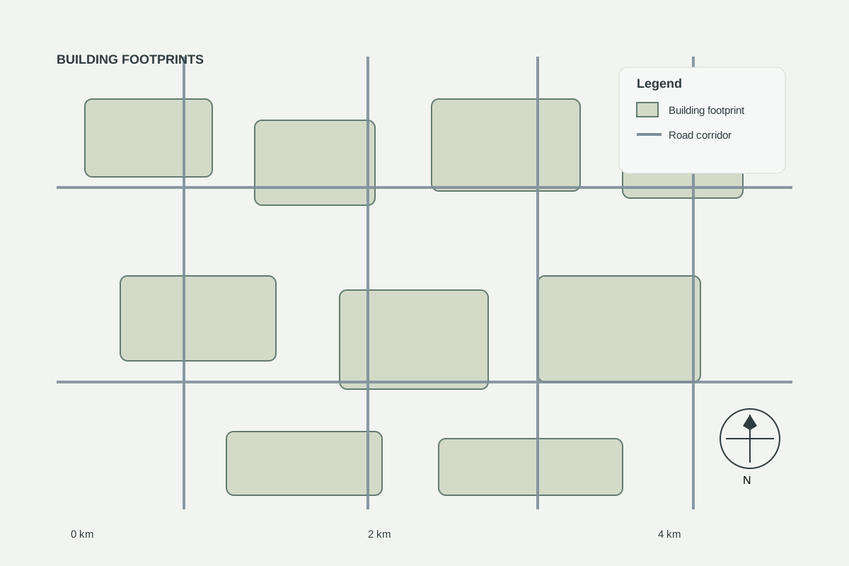
This is an illustrative case study demonstrating GEOINTEL LAND methodology. It does not describe a specific client engagement.
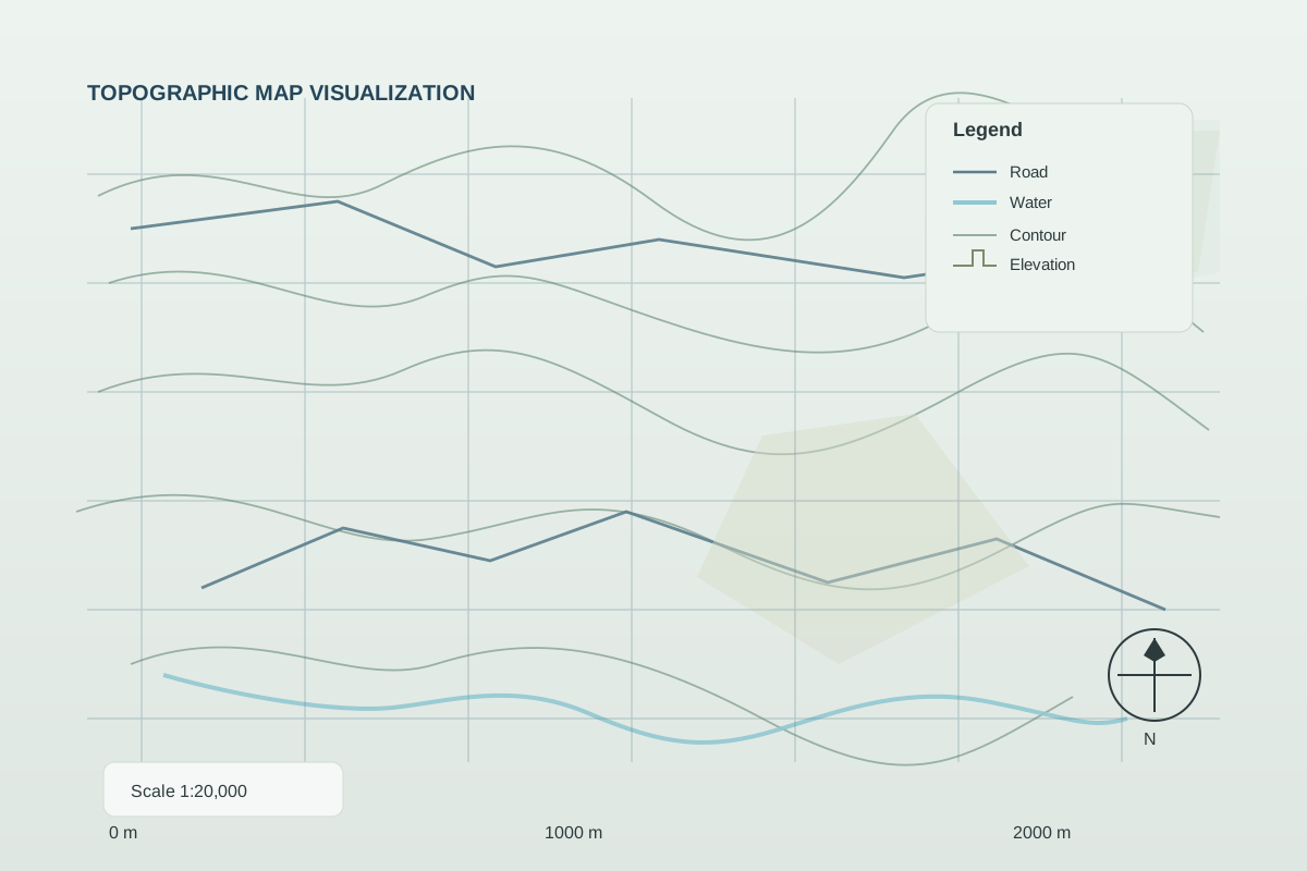
The challenge
A project owner needed independent visibility of progress across a remote construction site.
Approach
- Baseline imagery at project start
- Monthly change snapshots
- Progress summary for each work zone
Result
Stakeholders received consistent, comparable progress visuals without additional site visits.