Compare candidate sites with confidence.
We evaluate accessibility, terrain, infrastructure proximity and land-use compatibility to score and rank multiple candidate sites using weighted multi-criteria analysis.
Approach
- Define project requirements and weighting
- Screen the search area with GIS constraints
- Score candidate sites on access, terrain, utilities and land use
- Rank sites and recommend a shortlist
Typical criteria
- Distance to primary roads
- Slope and flood exposure
- Utility availability
- Zoning and land-use compatibility
- Market and labour catchment
Deliverables
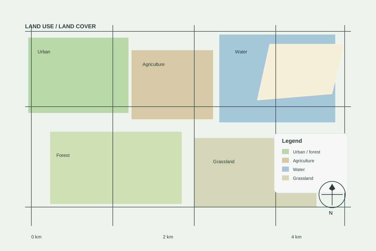
Compare candidate sites with confidence
Multi-criteria site scoring and accessibility analysis for informed decisions.
Frequently asked questions
What data do you use?
We use open satellite imagery (e.g. Sentinel, Landsat), public geospatial datasets such as OpenStreetMap, commercial imagery when a project requires it, and the site files you provide (KML, SHP, DWG, PDF plans).
Do you provide legal or survey advice?
No. Our analyses are decision-support. They do not replace cadastral surveys, geotechnical studies, environmental assessments or legal due diligence — we tell you which of these your project still needs.
How long does an analysis take?
A standard land intelligence brief is typically delivered within 5–7 working days after we confirm the site boundary and scope. Larger multi-site or engineering assignments are scheduled individually.
Can you work on large industrial projects?
Yes. We support industrial site selection, master planning inputs, No Objection documentation and engineering drawings.
Which countries do you cover?
We work across Africa, with ready-made datasets for Rwanda, Uganda, Kenya, Tanzania, Central African Republic, Cameroon, Ghana, Nigeria, Zambia and South Africa. Custom data can be prepared for other areas on request.