This is an illustrative case study demonstrating GEOINTEL LAND methodology. It does not describe a specific client engagement.
The challenge
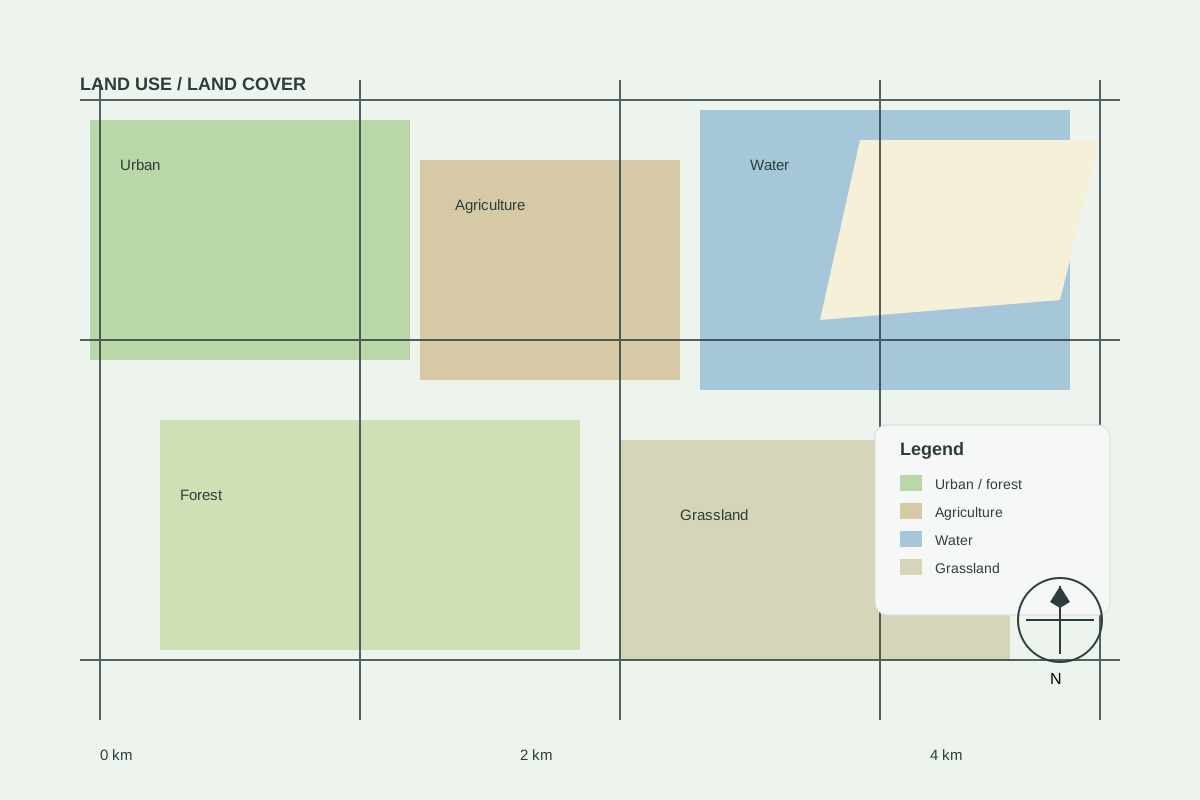
A developer needed to compare three candidate parcels for a mid-density residential scheme before committing to land acquisition.
Approach
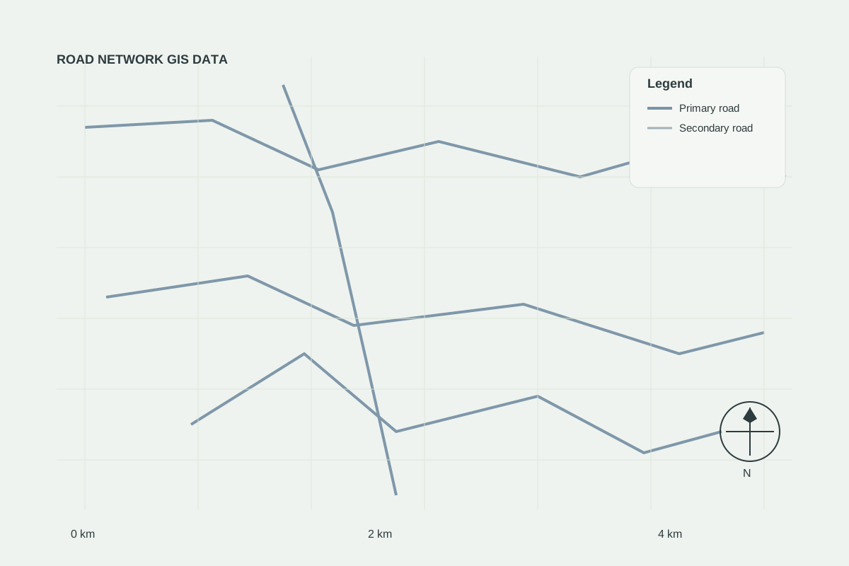
- Mapped road access and travel time to the nearest urban centre
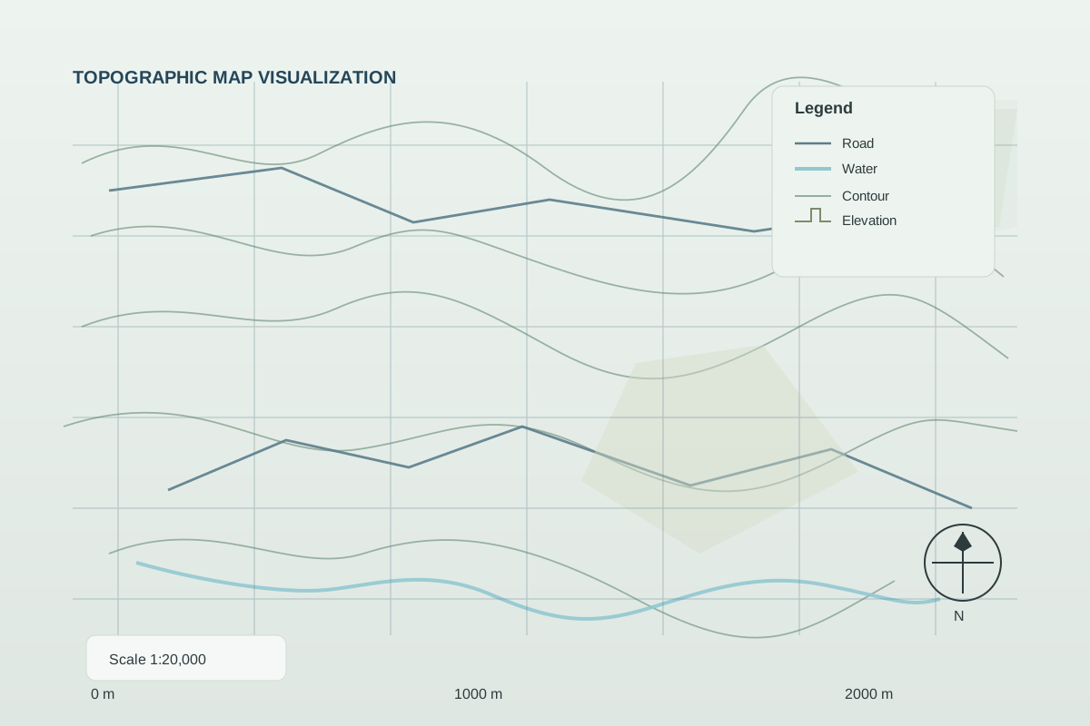
- Screened slope and drainage from terrain data
- Reviewed proximity to water, power and social infrastructure
- Scored each site using weighted multi-criteria analysis
Result
The comparison highlighted one parcel with clearly better access and fewer drainage constraints, allowing the client to focus due diligence on a single site.