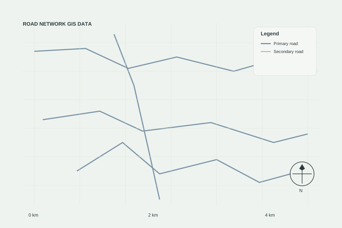
Road Networks
AVAILABLERoad Network GIS Data
Ready-to-use road network datasets for mapping, transportation analysis and infrastructure planning.
Elevation and terrain intelligence for drainage, slope assessment, road design and engineering planning.
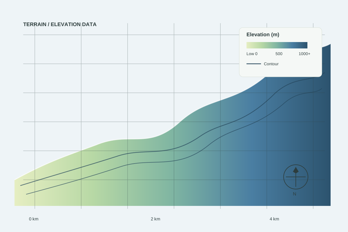
Sample GIS visualisation — illustrative example of the data type.
Road Networks
AVAILABLEReady-to-use road network datasets for mapping, transportation analysis and infrastructure planning.
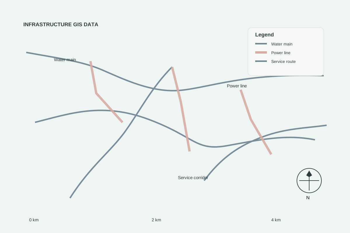
Infrastructure Data
COMING SOONInfrastructure layers for utilities, service access and corridor studies.
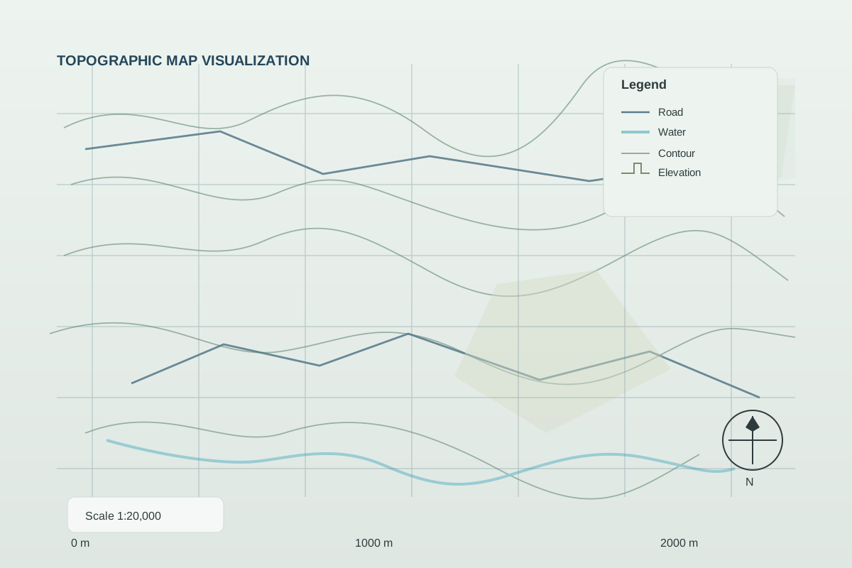
Topographic Data
REQUEST DATATopographic mapping data showing terrain, elevation, contours and geographic features.
Tell us your area of interest and preferred format — we will confirm availability, licensing and price.