Building Data
REQUEST DATABuilding Footprints
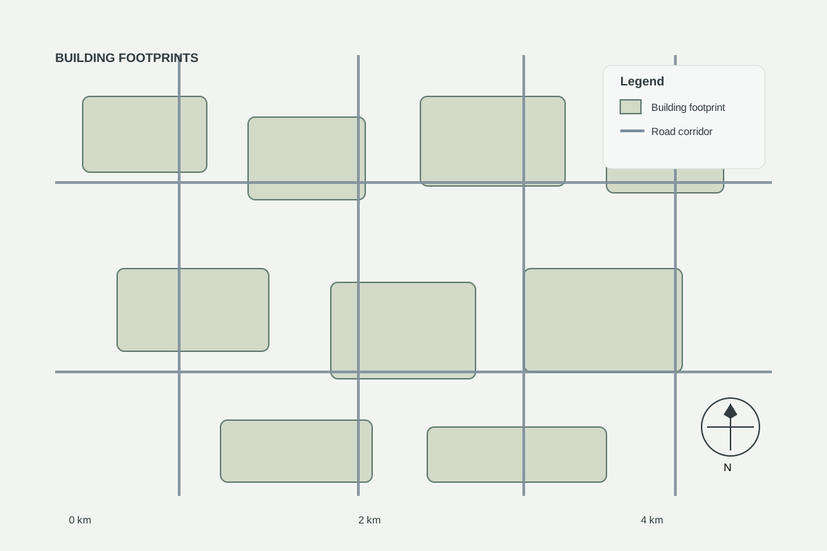
Building footprint layers for urban analysis, site design and infrastructure assessment.
Professionally prepared geospatial datasets for mapping, infrastructure planning, transportation analysis, real estate development, site selection and spatial intelligence.
Road corridors and transportation features
COMING SOONCountry, region and district boundaries
REQUEST DATABuildings and footprint features
COMING SOONLocations, facilities and services
COMING SOONTransit, corridors and movement layers
COMING SOONUtilities and built assets
COMING SOONSpatial land classification data
COMING SOONTerrain and topographic surfaces
REQUEST DATADigital soil information for agriculture and land assessment
REQUEST DATATerrain, contours and topographic mapping layers
REQUEST DATAHistorical boundary and territorial comparison datasets
AVAILABLEProject-specific geospatial datasets
Ready-to-use road network datasets for mapping, transportation analysis, infrastructure planning, site selection, urban development, real estate analysis and GIS projects across Rwanda.
| Tier | Area | Multiplier |
|---|---|---|
| SMALL | 0 – 10 ha | × 1 |
| MEDIUM | 10 – 50 ha | × 1.35 |
| LARGE | 50 – 200 ha | × 1.8 |
| EXTRA-LARGE | 200 – 1,000 ha | × 2.6 |
| MEGA | 1,000+ ha | × 4 |
No country datasets match these filters.
Try another country or request custom data — we prepare datasets for any area.
Building Data
REQUEST DATABuilding footprint layers for urban analysis, site design and infrastructure assessment.
Classic geospatial format for ArcGIS, QGIS and engineering workflows.
Presentation-ready files for Google Earth, field review and planning.
Web-friendly format for developers and web maps (on request).
Single-file open standard for large datasets (on request).
Dataset licensing depends on the underlying source and processing rights. GEOINTEL LAND does not claim ownership of third-party source data unless explicitly stated.
Where OpenStreetMap-derived data is used, attribution and ODbL share-alike requirements apply. GEOINTEL LAND does not represent raw third-party data as proprietary data.
GIS and satellite data provide decision-support information and do not replace cadastral surveys, geotechnical investigations, environmental assessments, legal due diligence, engineering certification or regulatory approvals.
Clear scope, clear price — pay online and we start as soon as we receive your site details.
Fixed-price desktop site screening report for one candidate site.
$500 fixed
Delivery: 5 working days
Fixed-price land intelligence brief for one site.
$750 fixed
Delivery: 7 working days
Fixed-price satellite monitoring starter package.
$1,000 fixed
Delivery: Over 3 months
Road features with classification, type and location fields. Available attributes vary by country and source — each dataset page lists them.
Each dataset has a base price per format. The base is multiplied by a tier based on your project area (Small 0–10 ha ×1 up to Mega 1,000+ ha ×4). The exact amount is shown before you pay.
After payment is confirmed and your area is agreed, we prepare the files and email you a secure download link (valid for a limited time). You can also track your order online.
Yes. Use the custom data request form to describe your area of interest, dataset type and format, and we will reply with a quote.
Card, mobile money and bank transfer through Flutterwave. GEOINTEL LAND never sees or stores your card details. Invoices are available for organisations on request.
Request custom GIS data prepared for your project, location or area of interest.